
Technical drone inspections, thermography and professional surveys.
Aerial inspections and ready-to-use reports for buildings, companies, technical studios and contractors.
Certified reports•ENAC-authorized pilots•Fast response
Services
Choose the service based on the problem to solve.
Each service explains objectives, deliverables, use cases and FAQs. Start from the result you need, not from the technology.
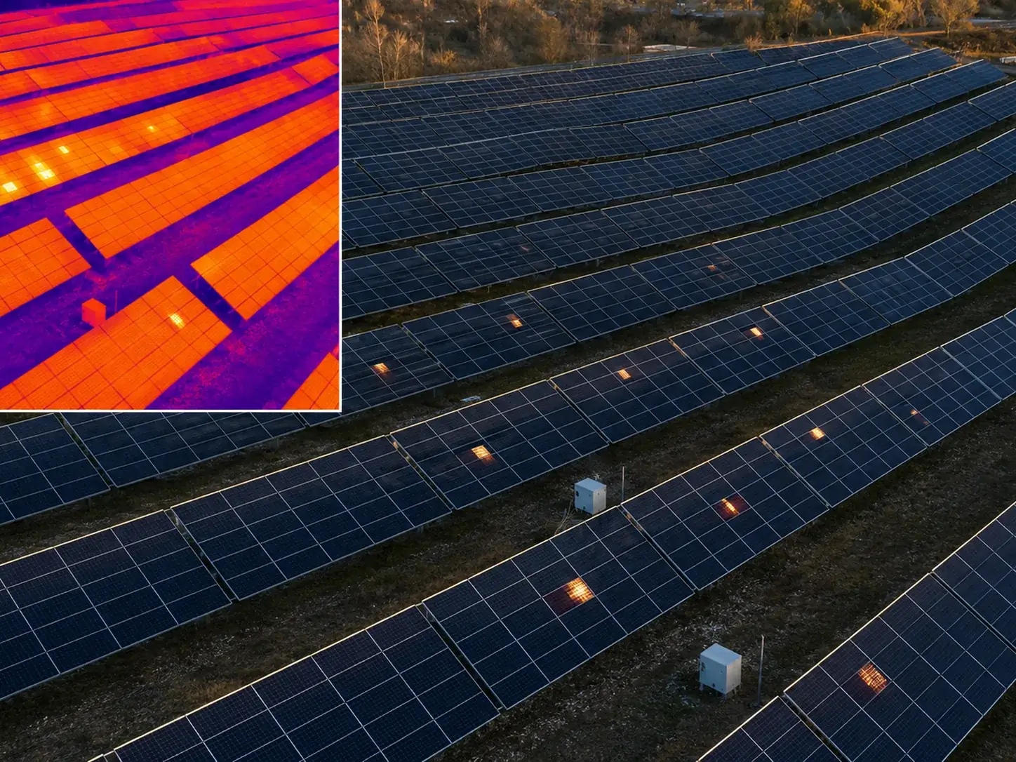
Photovoltaic thermography
Aerial inspection of photovoltaic systems, roofs and buildings to identify anomalous areas, document them and turn them into a readable report.
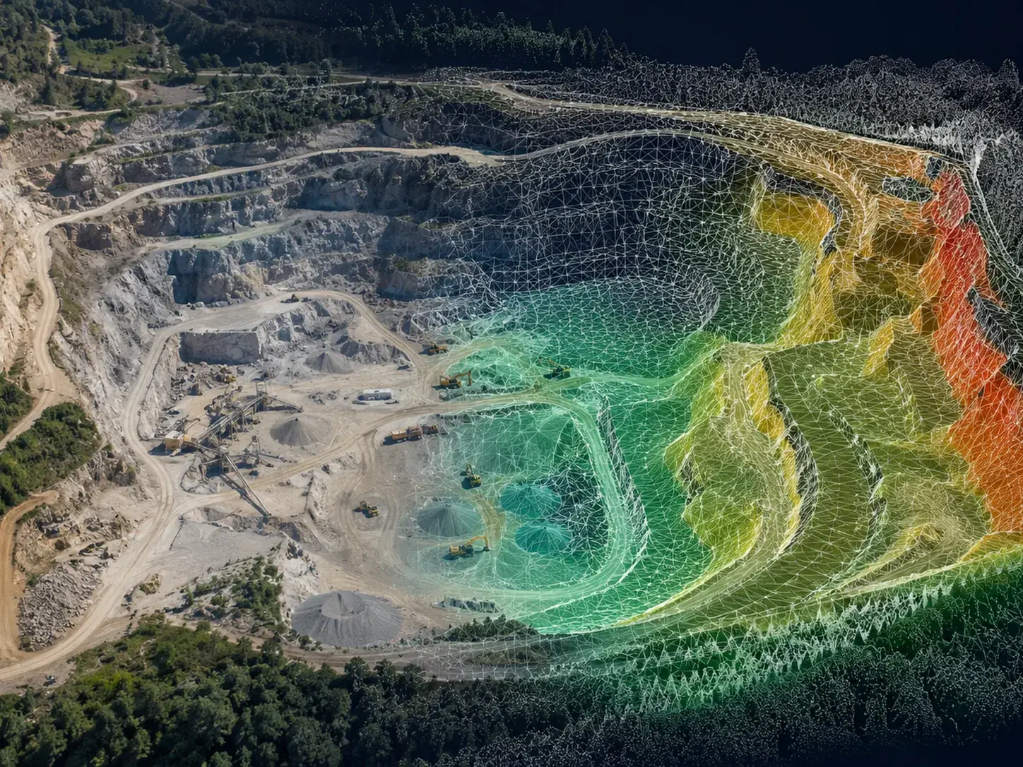
Photogrammetry and 3D surveys
Planned aerial acquisition to generate orthophotos, 3D models, point clouds and sheets useful for technical studios, construction sites and companies.
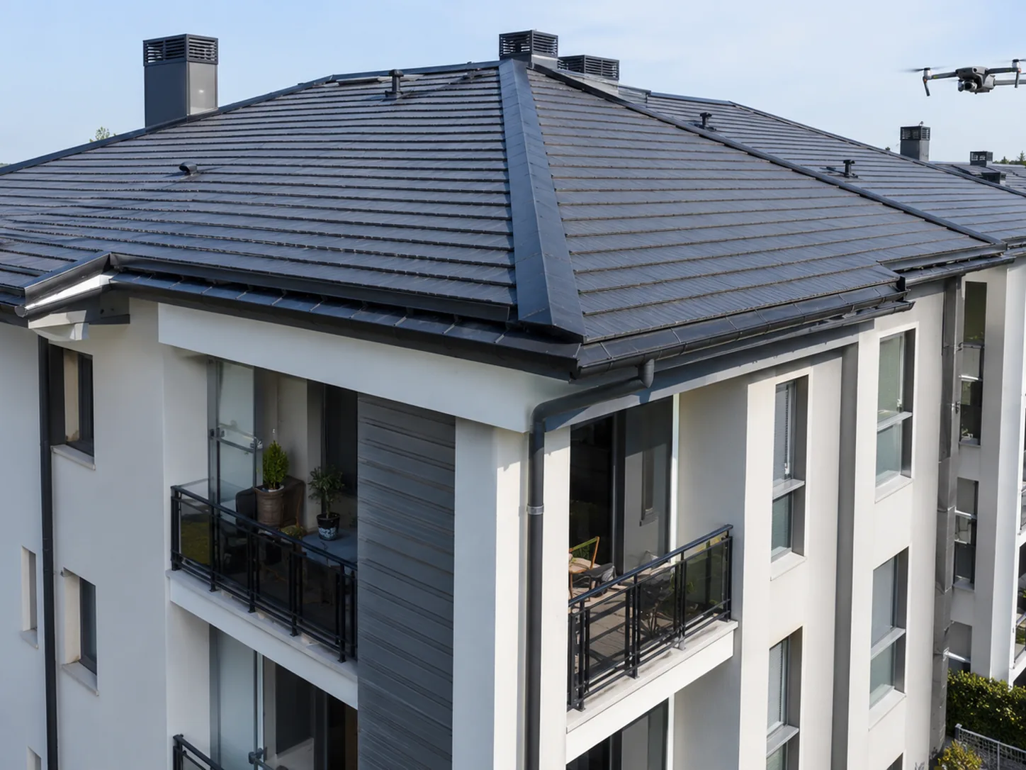
Building and roof inspections
Visual checks of roofs, facades, gutters, chimneys, warehouses and hard-to-reach points, with photos organized by issue.
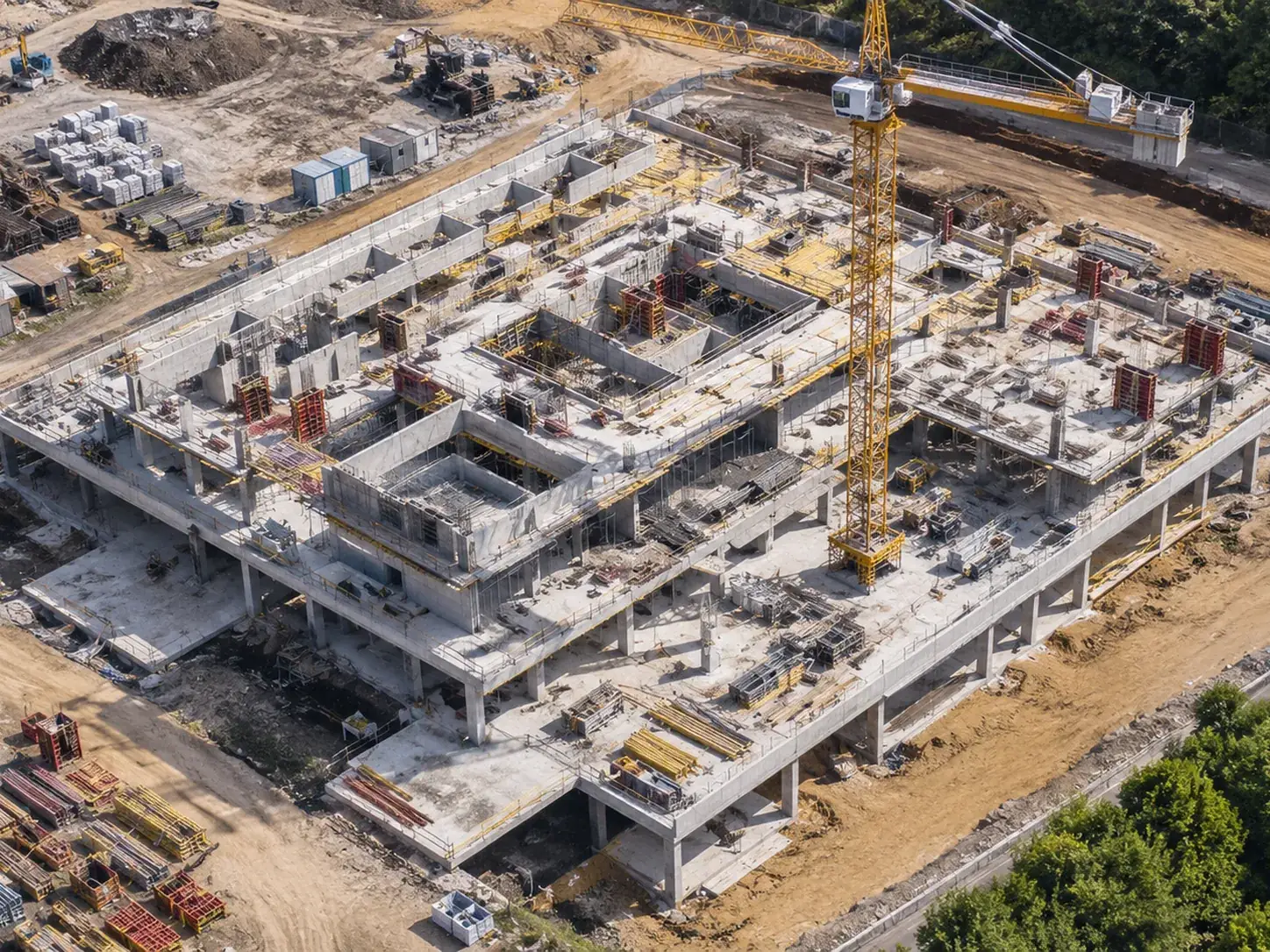
Drone surveys for construction sites
Periodic construction-site documentation, technical photos, orthophotos and time comparisons for contractors, project managers and clients.
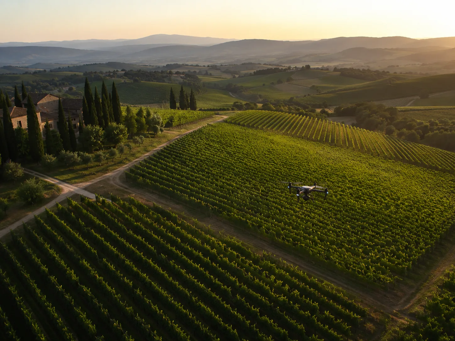
Precision agriculture
Aerial readings for vineyards, olive groves and agricultural surfaces: maps, visual comparison and decision support for more targeted interventions.
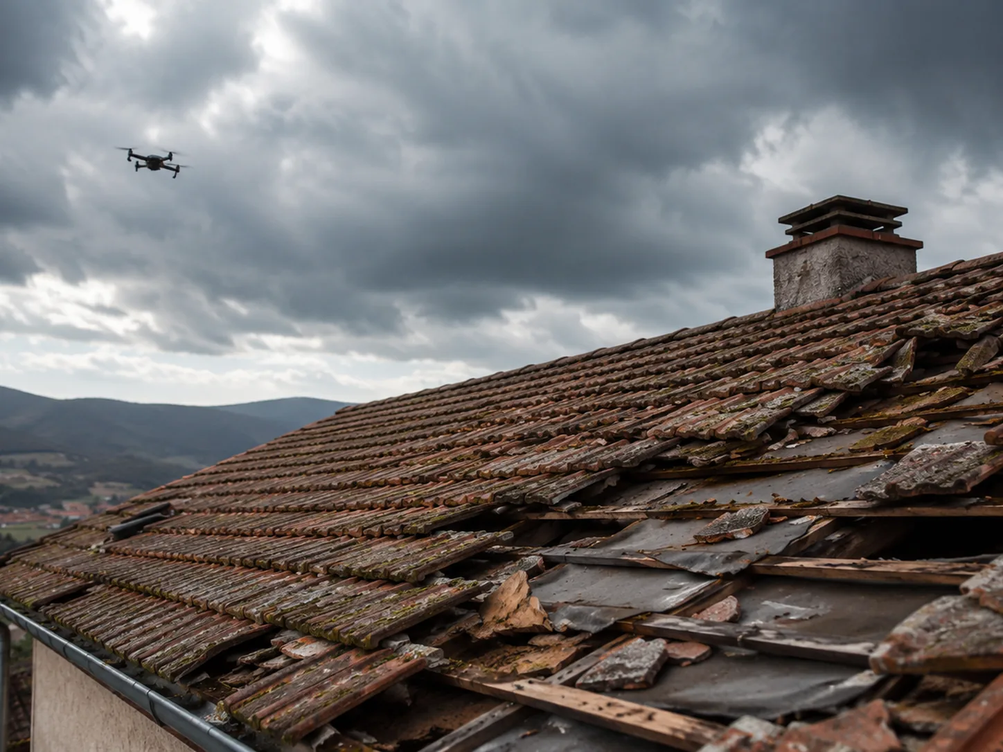
Post-storm check
Fast inspection after wind, hail or heavy rain to document roofs, panels, facades and outdoor areas.
Deliverables
Not just images: deliverables that help decisions.
The value of a drone service is not the flight itself, but turning collected data into documentation that administrators, technicians, companies and clients can read and use.
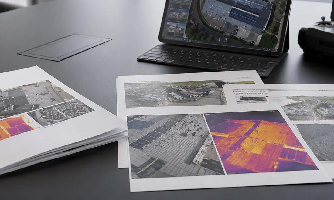
Technical report
Foto selezionate, criticità evidenziate, note operative, priorità e riepilogo ordinato.
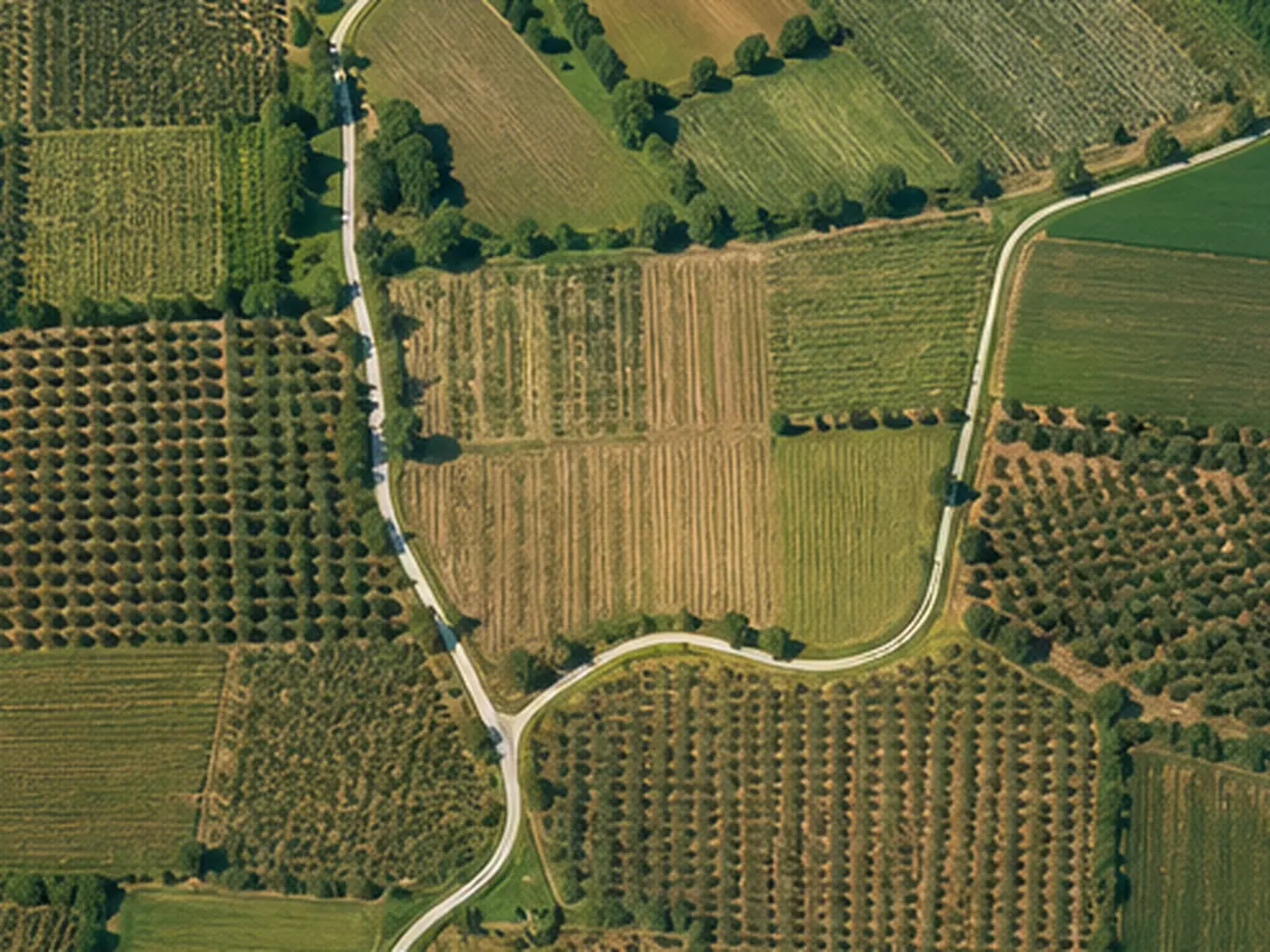
Orthophoto e mappe
Vista dall’alto ordinata per stato di fatto, surveys, cantieri, terreni e aree esterne.
Modelli e nuvole
Deliverables digitali per lettura volumetrica, confronto, documentazione e supporto a studi tecnici.
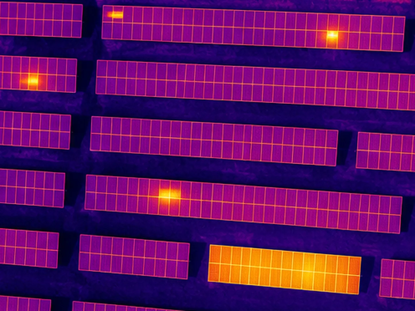
Immagini termiche
RGB/thermal comparison per impianti fotovoltaici, coperture ed elementi con comportamento anomalo.
Ultimi lavori
Problema, intervento, risultato.
Tre interventi tipo con la struttura del report consegnato. Nella pagina report demo trovi le anteprime complete.
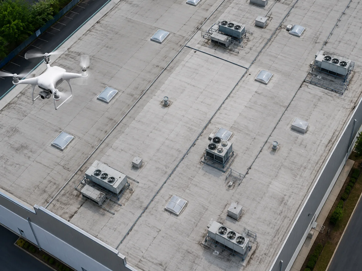
Copertura dopo maltempo
Problema: tegole spostate e infiltrazioni segnalate.
Intervento: volo fotografico e mappatura criticità.
Result: report con priorità, condiviso con l'impresa senza ponteggi.
Termografia impianto
Problema: produzione sotto le attese.
Intervento: volo termografico RGB+IR sull'impianto.
Result: hotspot e stringhe sospette localizzate per l'O&M.
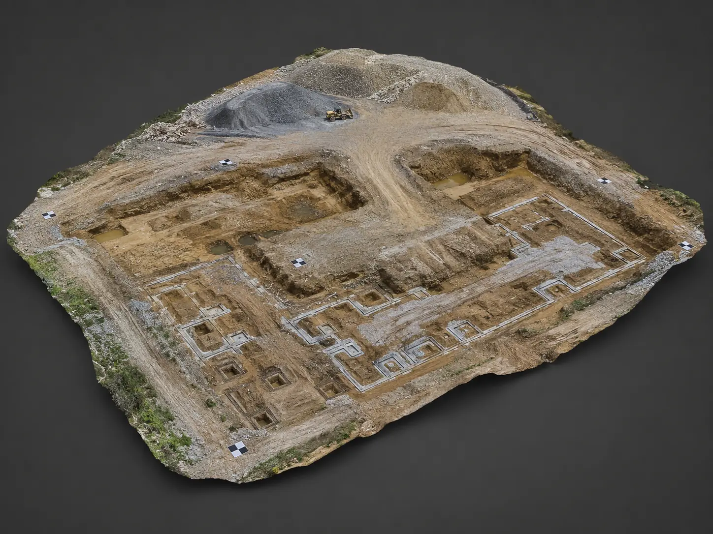
Work progress
Problema: documentare il SAL per la committenza.
Intervento: voli periodici e confronto temporale.
Result: cartella tecnica ordinata per direzione lavori.
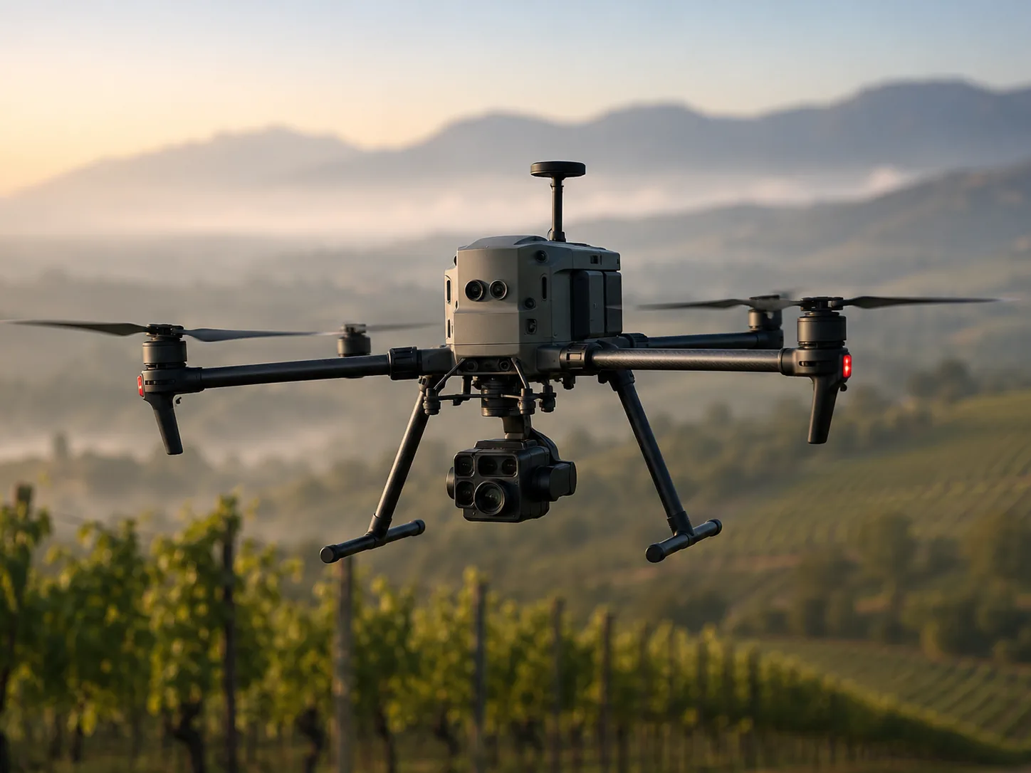
Operating method
Un processo semplice prima, durante e dopo il volo.
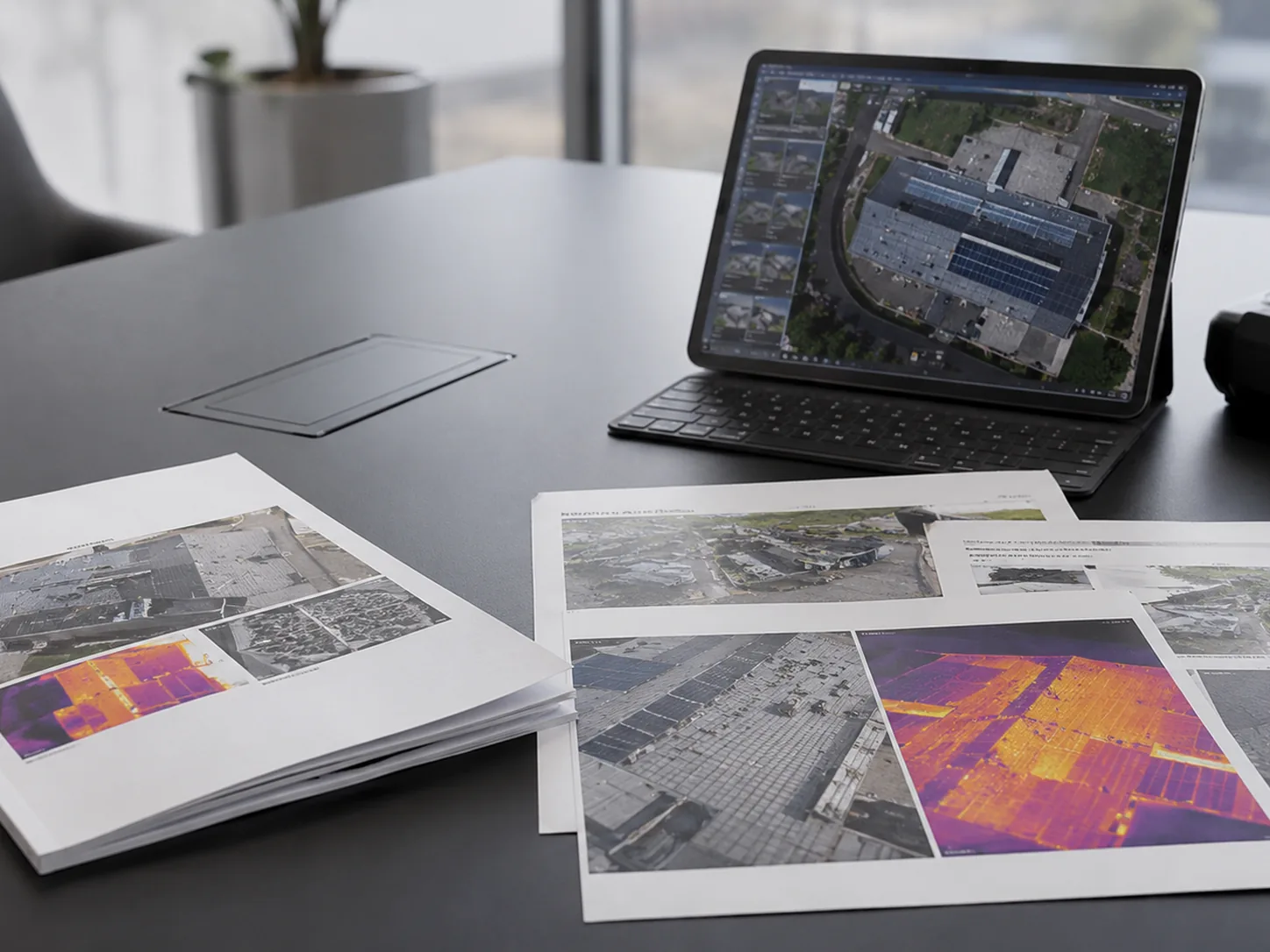
Report demo
Guarda prima cosa potresti ricevere.
Esempi di report demo: thermography fotovoltaica, ispezione condominio e controllo post maltempo. Il valore non è solo la foto, ma la lettura organizzata del problema.
- Anteprima di struttura report.
- Deliverables e sezioni consigliate.
- Formato pronto da condividere via email con tecnici e fornitori.
FAQ
Frequently asked questions.
Risposte brevi per chi vuole capire rapidamente se il drone è lo strumento giusto.
How much does a drone service cost?
It depends on the area, urgency, complexity, restrictions, type of analysis and requested output. That is why we ask for location, objective and a few details before estimating the work.
Do you work only in Abruzzo?
We are based in Abruzzo, with operational focus on Pescara and central Italy. Projects in the rest of Italy and abroad can be assessed depending on scope, urgency and logistics.
Do you only provide photos and videos?
No. In addition to images, we can prepare reports, maps, orthophotos, 3D models, thermal images and organized technical folders ready to share.
Can I send a request even if I do not know which service I need?
Yes. Tell us the problem: a roof to inspect, a photovoltaic system, a construction site, land to monitor or post-storm damage. We will guide you toward the right service.
Let’s talk about your project.
Mandaci area, obiettivo e qualche foto: prima assessment di fattibilità entro 24/48h.