
Service catalog
Find the right drone service for your project.
Surveys, inspections, thermography, construction sites, agriculture and post-storm documentation: every service is designed to produce clear information, not only impressive images.
Catalog
Services organized by objective, deliverable and final user.
Six services, each with objectives, deliverables and FAQs: choose the one closest to the problem you need to solve.
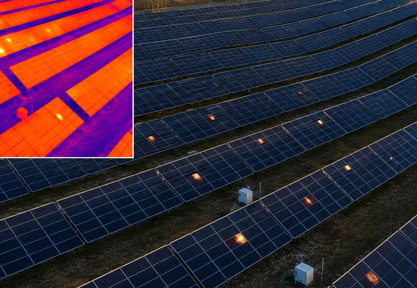
Photovoltaic thermography
Aerial inspection of photovoltaic systems, roofs and buildings to identify anomalous areas, document them and turn them into a readable report.
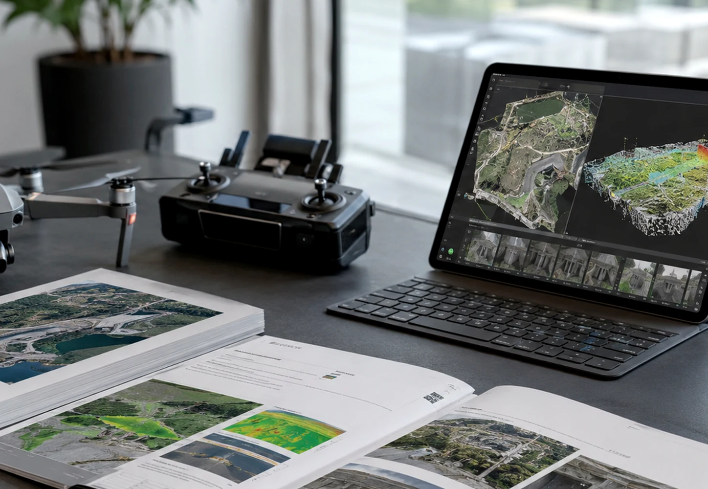
Photogrammetry and 3D surveys
Planned aerial acquisition to generate orthophotos, 3D models, point clouds and sheets useful for technical studios, construction sites and companies.
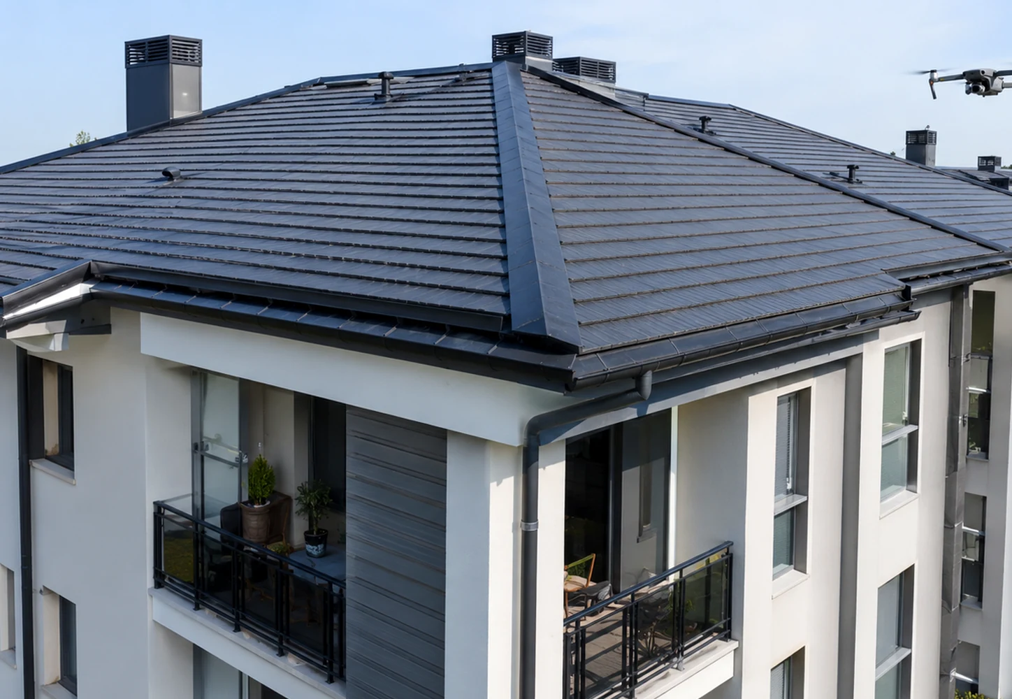
Building and roof inspections
Visual checks of roofs, facades, gutters, chimneys, warehouses and hard-to-reach points, with photos organized by issue.
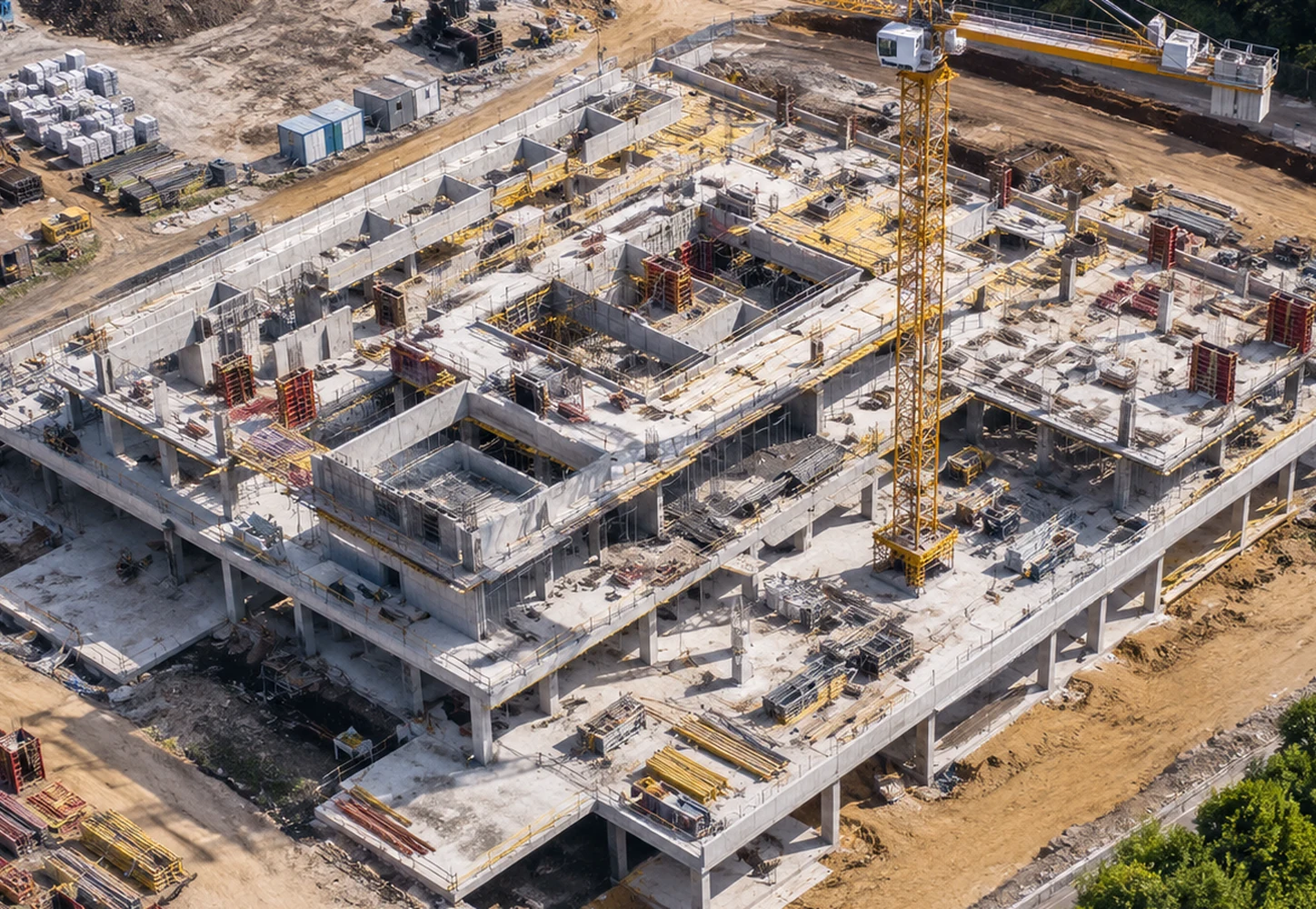
Drone surveys for construction sites
Periodic construction-site documentation, technical photos, orthophotos and time comparisons for contractors, project managers and clients.
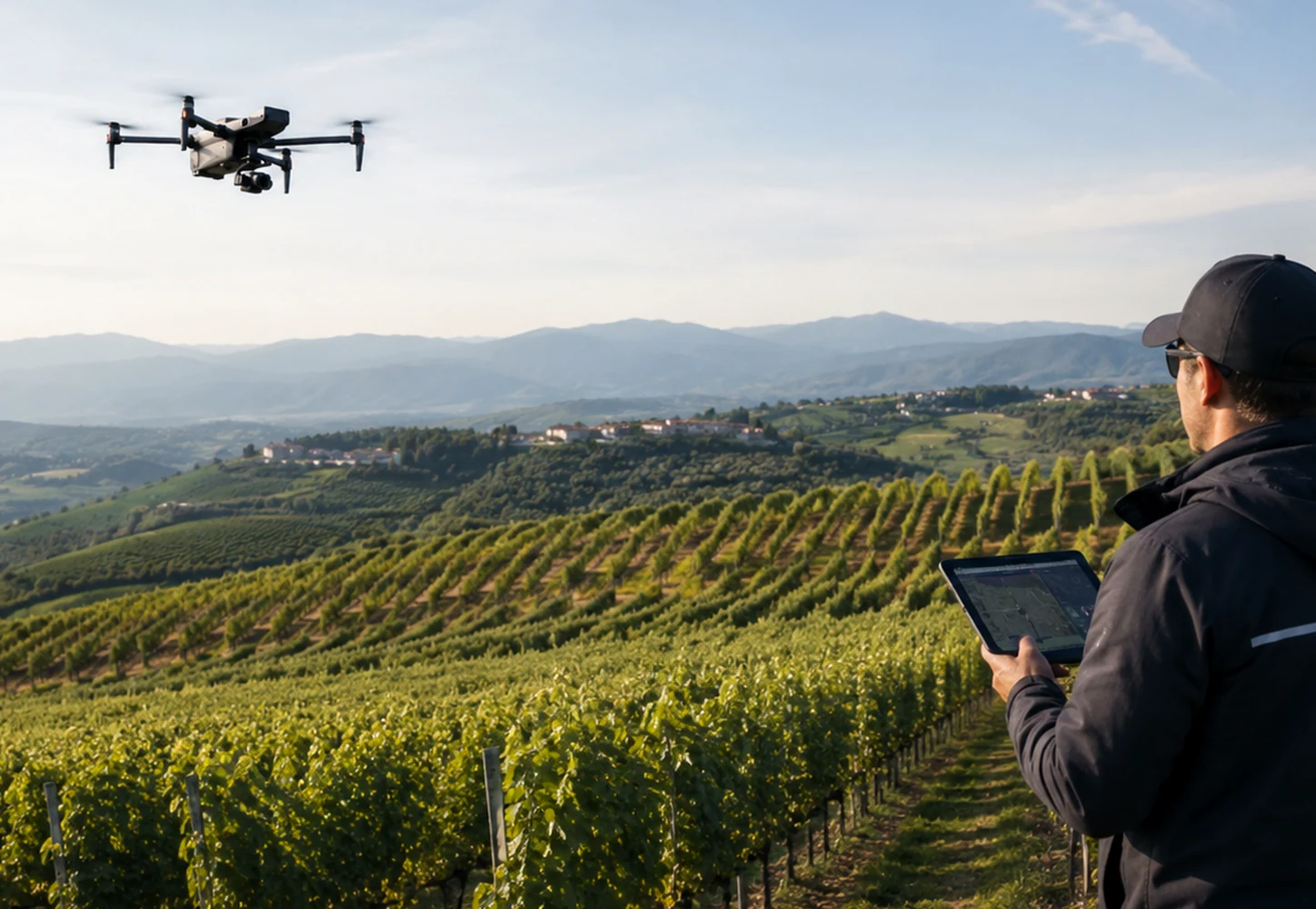
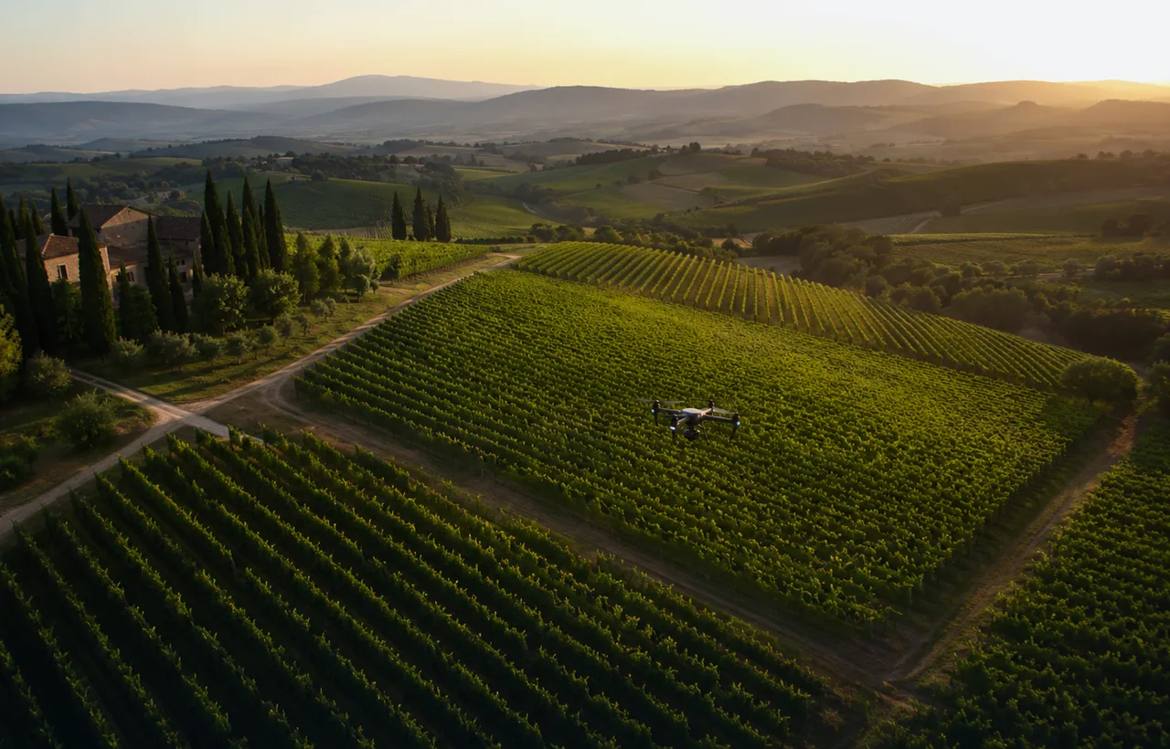
Precision agriculture
Aerial readings for vineyards, olive groves and agricultural surfaces: maps, visual comparison and decision support for more targeted interventions.
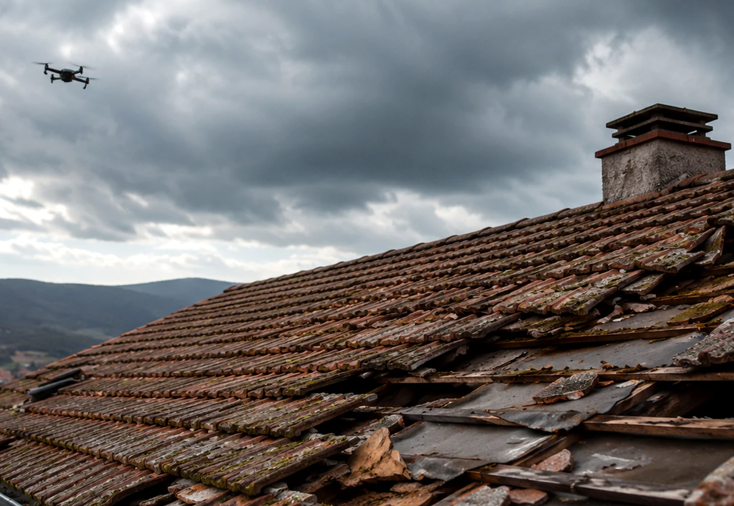
Post-storm check
Fast inspection after wind, hail or heavy rain to document roofs, panels, facades and outdoor areas.
Indicative packages
Three simple ways to request the service.
Prices remain quote-based, but packages help clients describe the need and understand the delivery level.
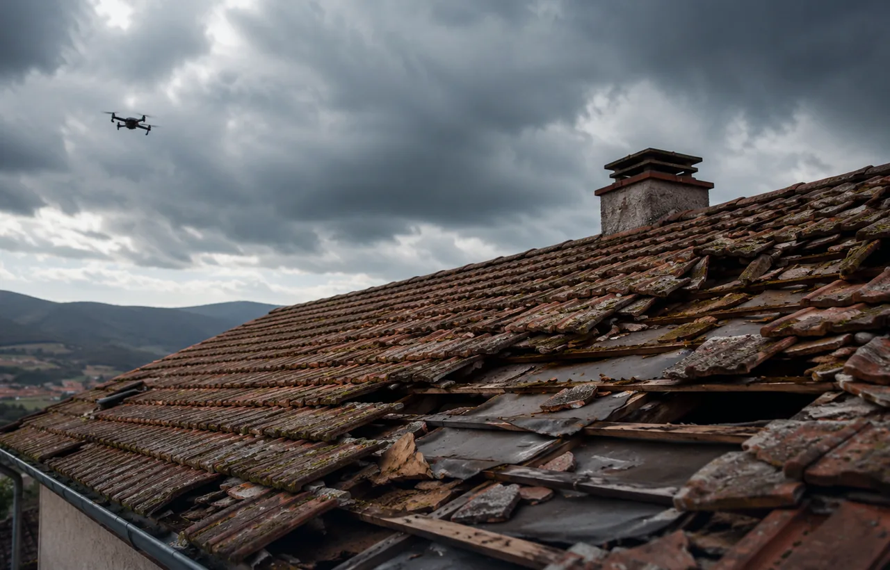
Quick check
For visual checks, preliminary inspections, critical points, roofs or localized damage. Ideal for property managers and private clients.
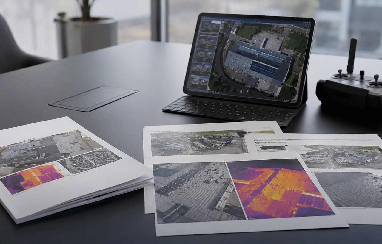
Technical report
For those who need to share the result with technicians, companies, insurers, maintenance teams or decision makers. Includes selected images and notes.
Complete monitoring
For construction sites, plants, agricultural areas or recurring work. Useful when comparison over time and organized archiving are needed.
Service FAQ
What to know before requesting a quote.
The more details you send, the faster the assessment will be.
How do I choose the right service?
Start from the problem: inspecting without climbing, measuring or reconstructing an area, checking a photovoltaic system, documenting a construction site or monitoring land.
Can I receive a customized report?
Yes. During the brief we define what the delivery should include: selected images, issue maps, orthophotos, notes, priorities or technical attachments.
Can you work outside Abruzzo?
Yes. We are based in Pescara, Abruzzo, and assess projects throughout Italy and abroad depending on logistics, urgency and project scope.
Descrivi il tuo caso e ricevi una prima assessment.
Inviaci indirizzo o coordinate, obiettivo, urgenza, dimensione indicativa dell’area e output desiderato. Ti diciamo quale servizio ha senso proporre.