
Drone thermography
Drone thermography for photovoltaics and buildings.
Aerial inspection of photovoltaic systems and technical surfaces with thermal images, visual comparison and an organized report for maintenance and operational decisions.
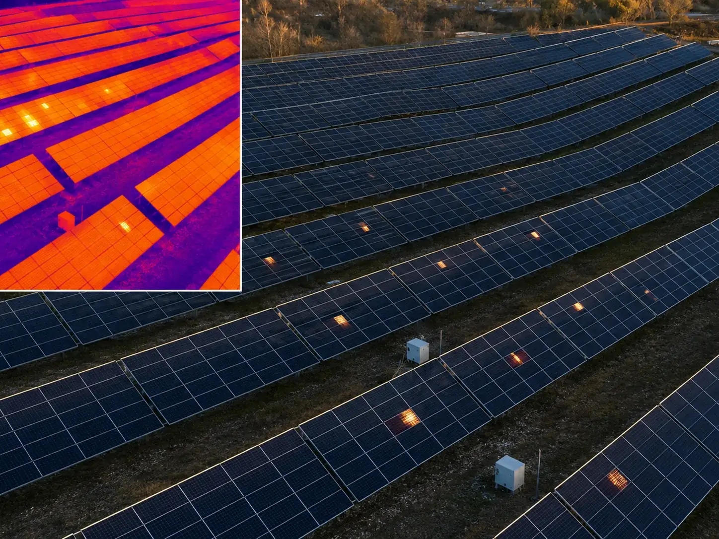
Applications
When to use drone thermography.
È utile quando bisogna controllare superfici ampie, tetti o impianti dove una verifica manuale sarebbe lenta, costosa o poco sicura. Il drone consente di acquisire rapidamente immagini dall’alto e di mettere in relazione la vista termica con la vista RGB.
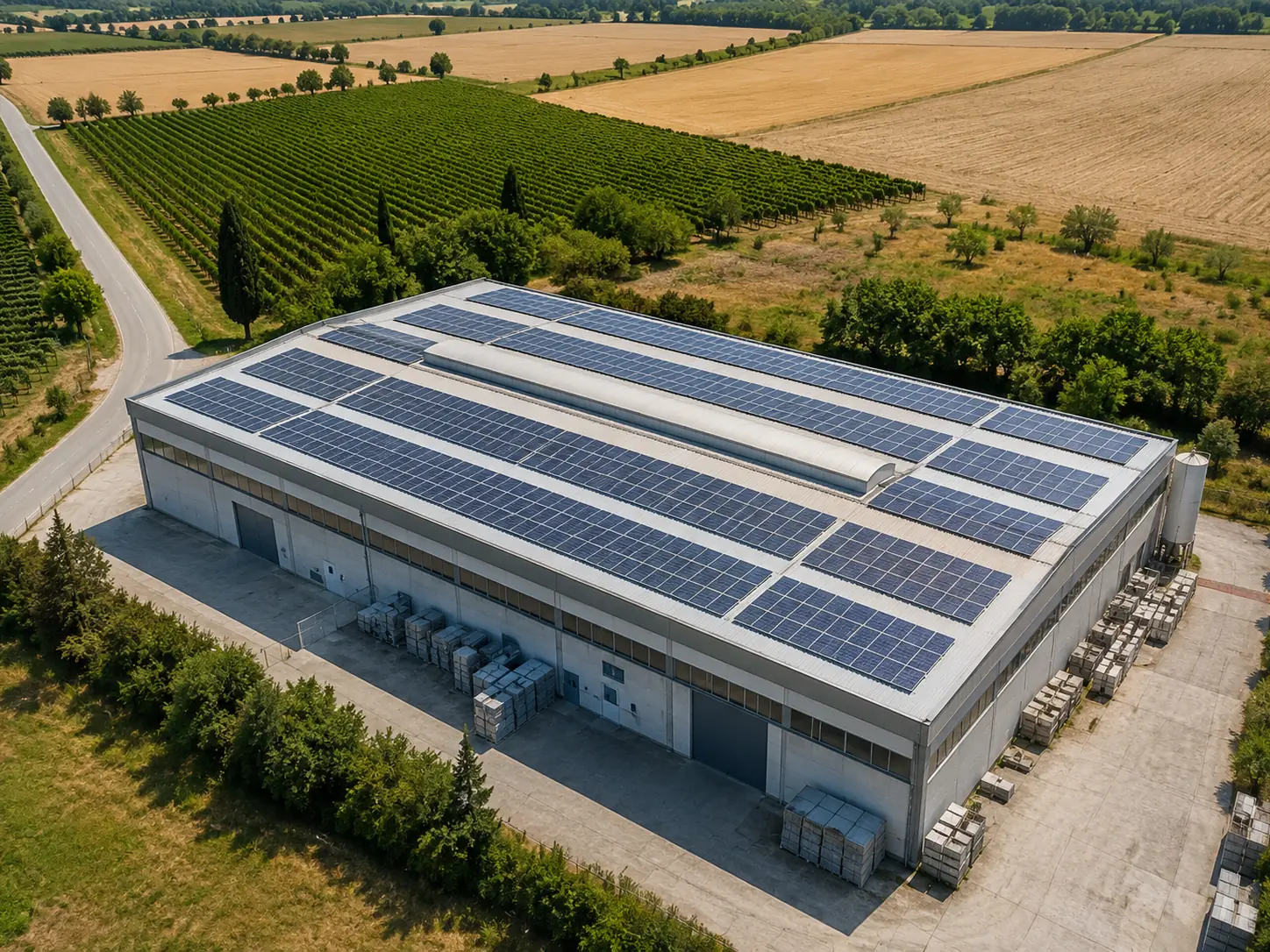
Deliverables
Visible anomalies, clear priorities.
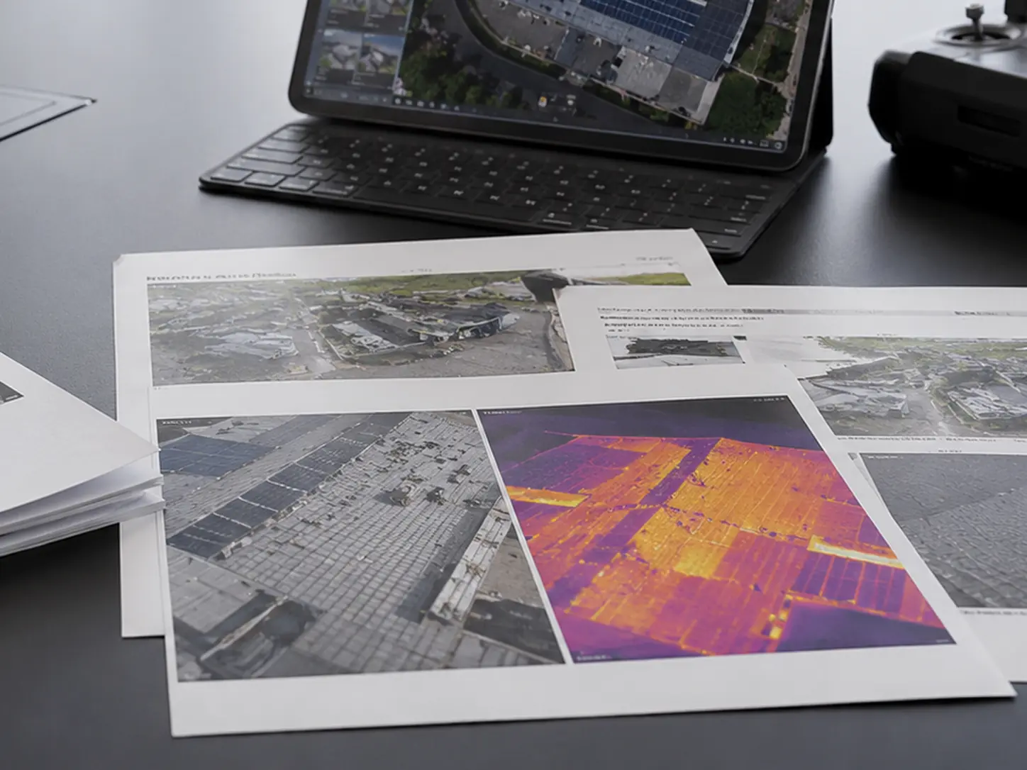
Il report deve essere comprensibile anche da chi non legge ogni giorno immagini termiche. Per questo organizziamo le evidenze con contesto, dettagli e note operative.
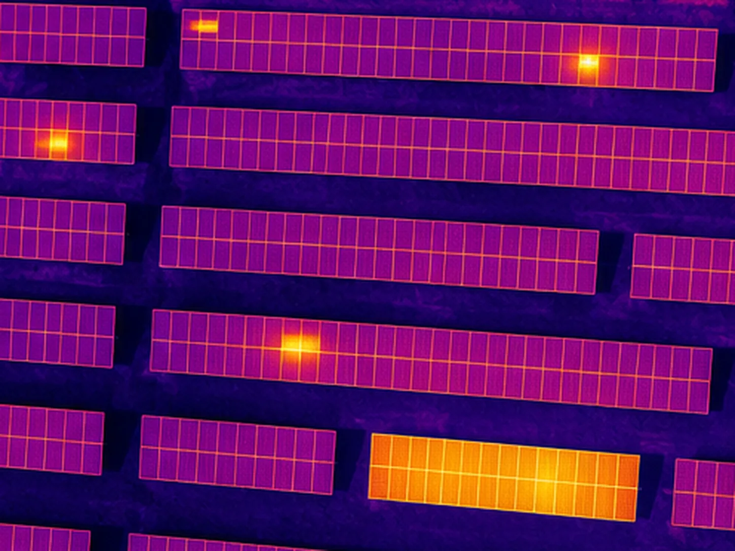
Hotspots and suspected modules
Dettaglio delle aree più calde e collegamento alla posizione sull’impianto.
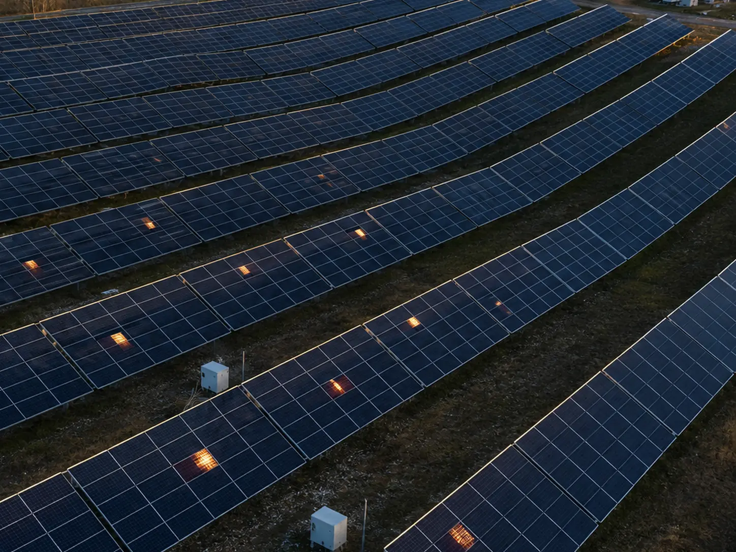
RGB/thermal comparison
Le immagini visive aiutano a interpretare ombre, sporco, geometrie e contesto.
Shareable report
Materiale ordinato per proprietari, manutentori, tecnici o aziende O&M.
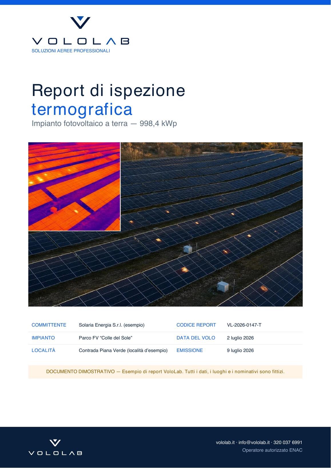
Demo PDF
Preview a photovoltaic thermography report.
A sample PDF with thermal imagery, real site context, highlighted evidence and priorities for maintenance and operational decisions.
FAQ
Frequently asked questions.
Practical answers to understand what is needed before planning the work.
Does photovoltaic thermography always identify the fault?
It identifies thermal anomalies and areas to be checked. The report helps prioritize inspections, but the final electrical diagnosis may require on-site instrumental checks.
What conditions are required?
Weather and operating conditions must be suitable: sunlight, system load, wind and shadows can affect the reading. Feasibility is assessed before the flight.
What do I receive after the inspection?
Depending on the service: RGB and thermal images, an anomaly map, priority indications, context photos and an organized PDF report.
Do you want to check feasibility and cost?
Send us location, objective, approximate area size and, if possible, a few photos or a Maps link. We will suggest the most sensible solution.