
Precision agriculture
Precision agriculture and crop monitoring with drones.
Aerial maps, visual readings and periodic documentation for farms, vineyards, olive groves and surfaces to monitor with method.
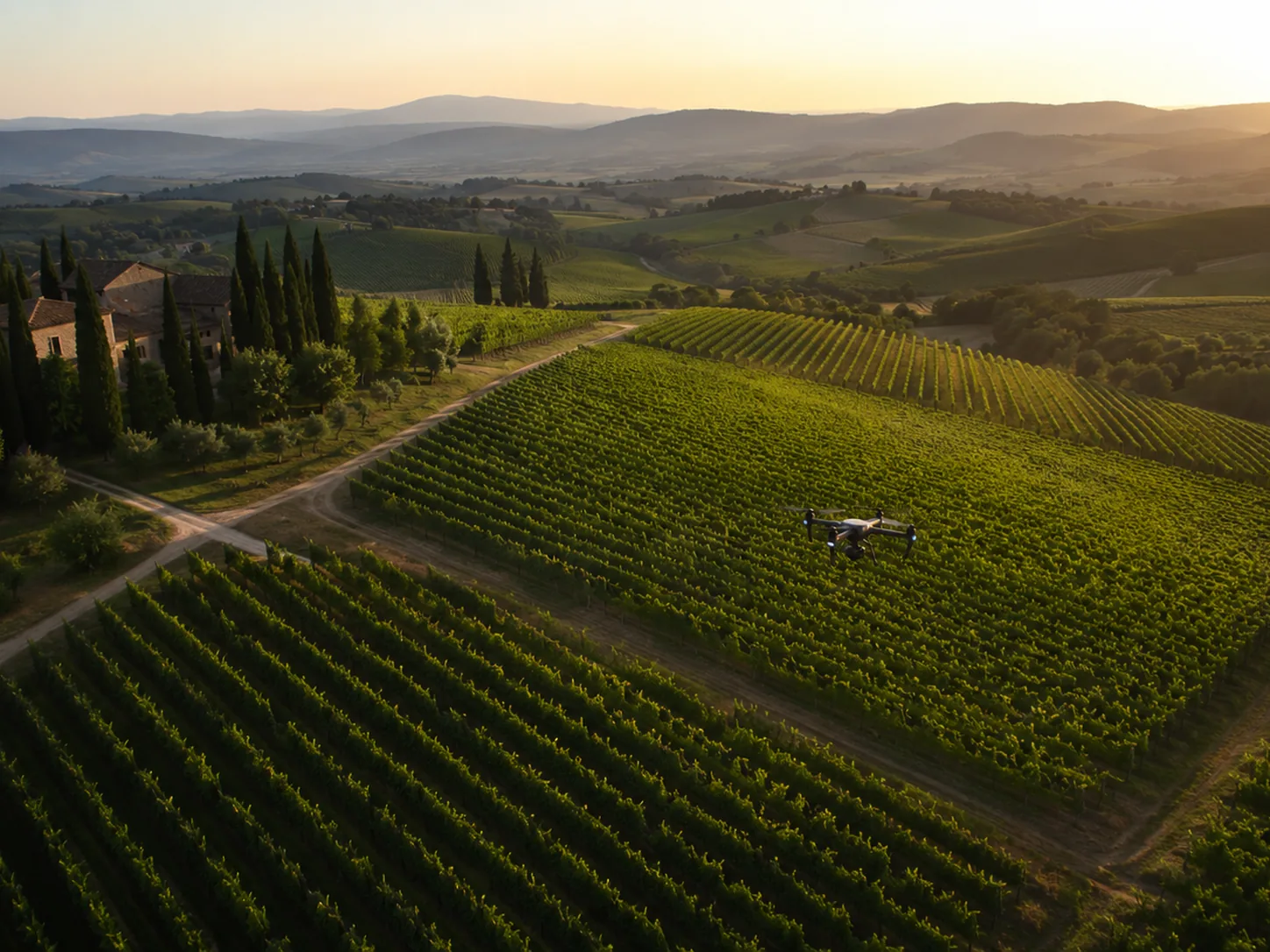
Agriculture
An aerial view to decide where to intervene.
The drone helps read differences between field areas, rows, vineyards, olive groves and agricultural surfaces. The goal is not to replace agronomic expertise, but to provide an organized and repeatable view.
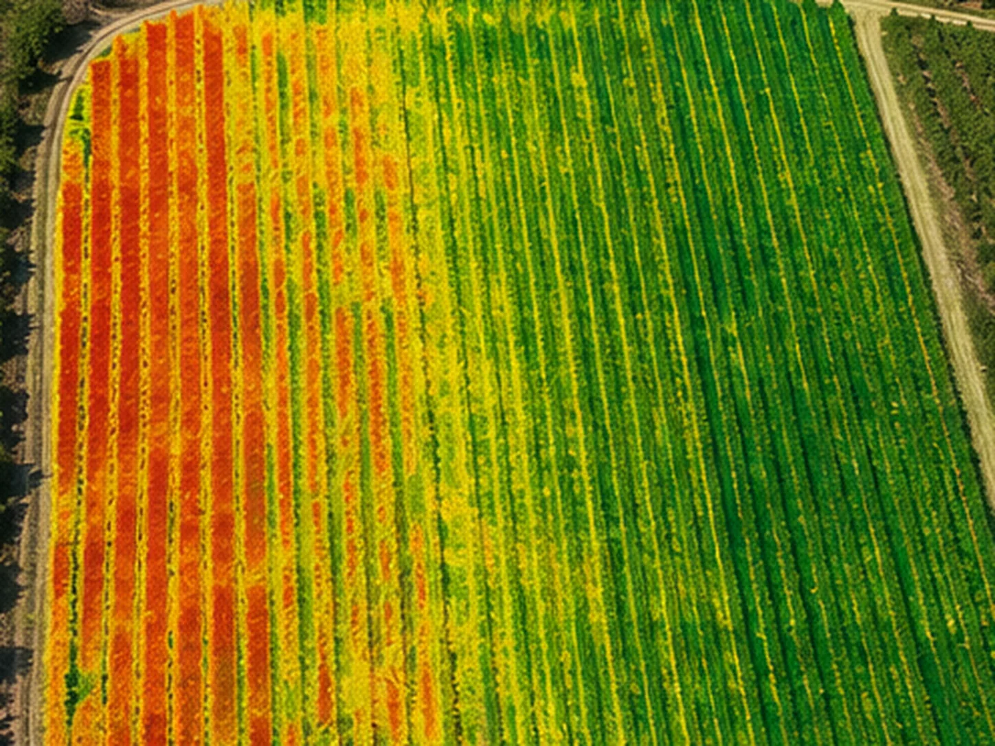
Agricultural deliverables
Maps and readings for more targeted interventions.
The delivery can be simple or more analytical, depending on the surface, sensor and objective.
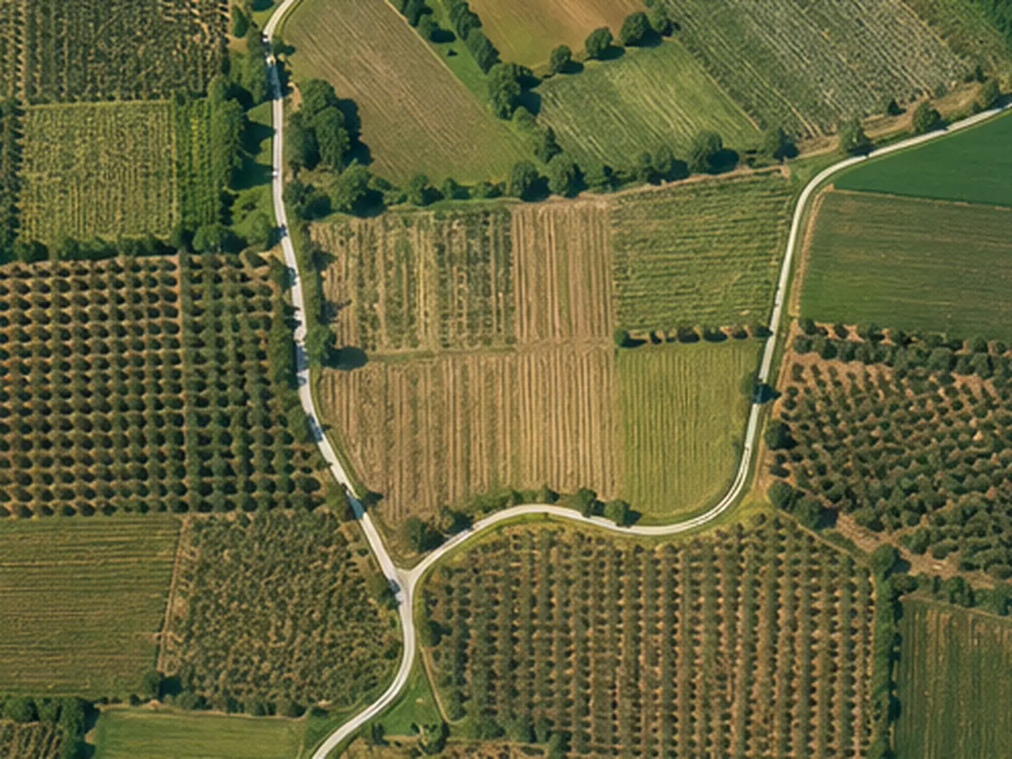
Area map
Overall view useful for orientation and comparing zones.
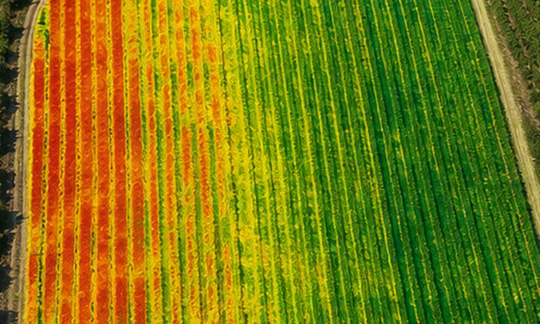
Attention zones
Visual identification of differences to check on the ground.
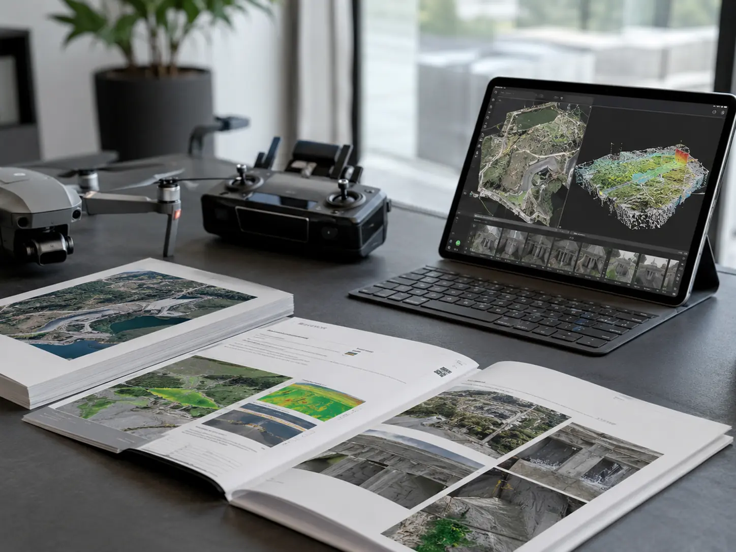
Periodic report
Archive useful for comparing evolution and interventions over time.
FAQ
Frequently asked questions.
Practical answers to understand what is needed before planning the work.
Is it only for large farms?
No. It can also be useful for vineyards, olive groves and smaller plots when an overall view comparable over time is needed.
What kind of maps do you deliver?
It depends on the sensor and project. We can structure visual reports, orthophotos, comparison maps and material useful for deciding where to focus inspections or interventions.
Can periodic monitoring be done?
Yes. For crops and land, comparison over time is often more useful than a single isolated flight.
Do you want to check feasibility and cost?
Send us location, objective, approximate area size and, if possible, a few photos or a Maps link. We will suggest the most sensible solution.