
Construction sites and works
Drone surveys for construction sites and work progress.
Aerial documentation of construction sites, operating areas and work progress with photos, orthophotos and reports organized by phase or date.
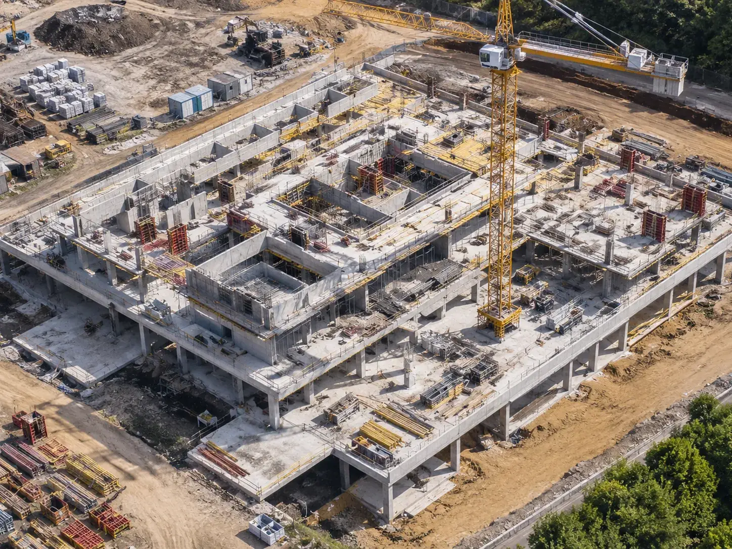
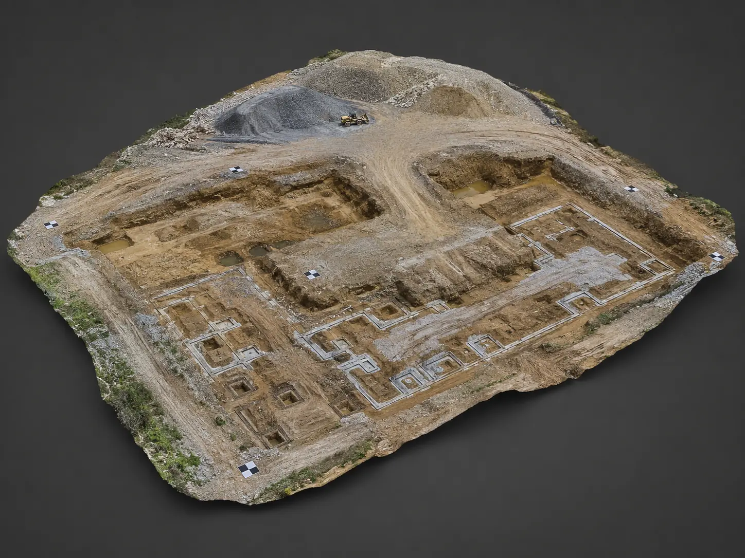
Cantieri
An organized visual history for clients and project managers.
Il drone permette di documentare lo stato del cantiere da una prospettiva che da terra non è disponibile. È utile per verificare avanzamento, aree esterne, depositi, viabilità, coperture, scavi e cambiamenti nel tempo.
Documentation
Useful reports during work.
Ogni uscita può produrre una consegna sintetica oppure un pacchetto più completo, in base all’uso previsto.
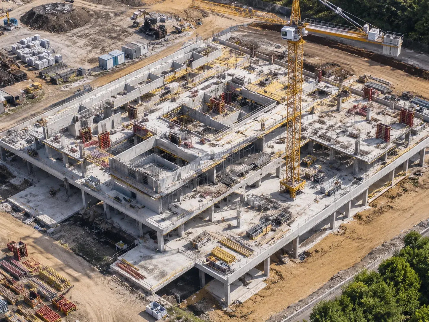
Work progress
Vista complessiva dello stato del cantiere in una data precisa.
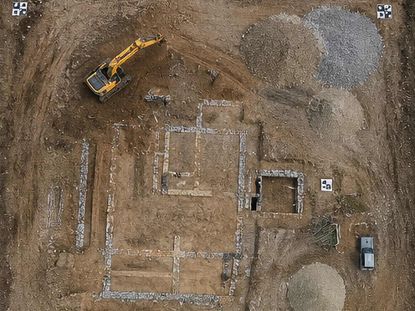
Orthophoto
Supporto alla lettura di aree, accessi e organizzazione del cantiere.
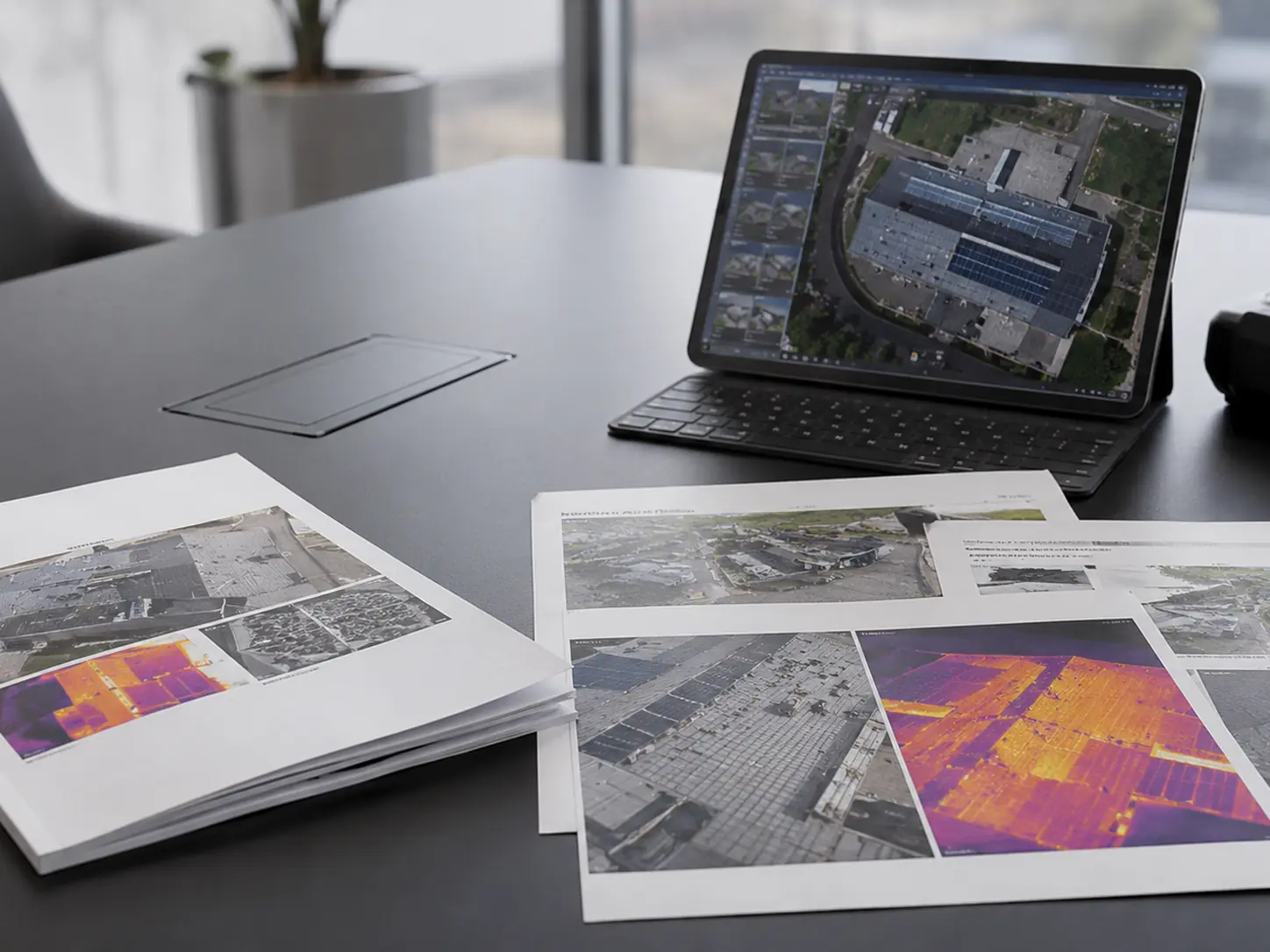
Report by date
Archivio ordinato per fase lavori, utile anche a distanza di mesi.
FAQ
Frequently asked questions.
Practical answers to understand what is needed before planning the work.
What is drone monitoring useful for on a construction site?
It documents work progress, area conditions, storage zones, access routes, roofs and changes over time with an objective aerial view.
Can periodic flights be scheduled?
Yes. For construction sites it often makes sense to schedule flights at defined intervals to create a comparable visual archive.
What materials can I receive?
Aerial photos, PDF reports, orthophotos, detail images, before/after views and folders organized by date or work phase.
Do you want to check feasibility and cost?
Send us location, objective, approximate area size and, if possible, a few photos or a Maps link. We will suggest the most sensible solution.