
Drone photogrammetry
Drone photogrammetry for surveys, orthophotos and 3D models.
We turn planned aerial imagery into readable digital deliverables: orthophotos, 3D models, point clouds, sheets and reports.
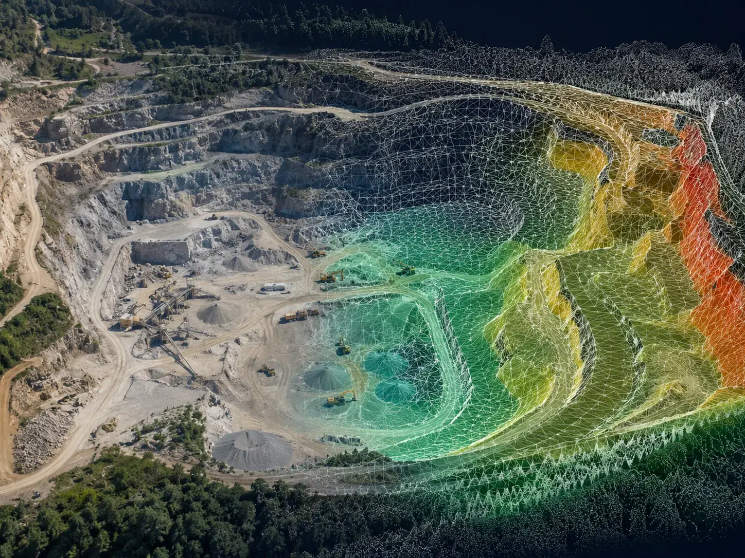
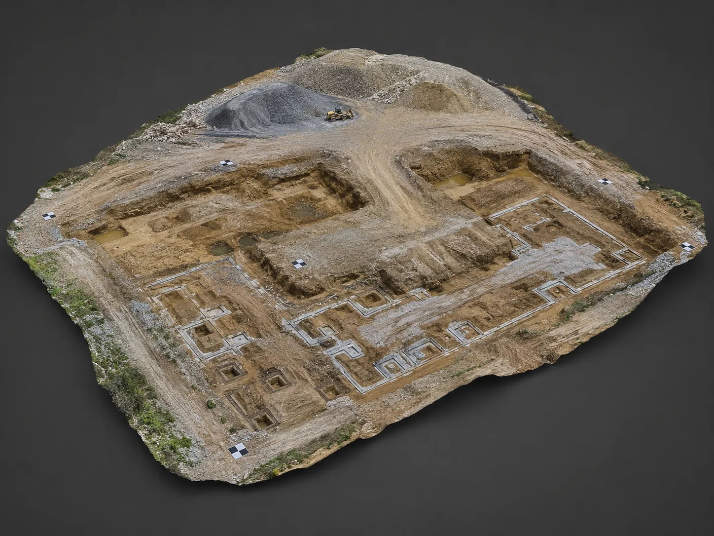
From flight to data
Flying is not enough: imagery must be acquired with method.
To produce usable deliverables, the mission must be planned around area, altitude, overlap, obstacles, lighting conditions and the final objective. The same area may require different strategies depending on whether the goal is a simple orthophoto, a 3D model or comparison documentation.
Deliverables
Orthophotos, 3D models and technical documentation.
Deliverables can be tailored to the client: a project manager has different needs from an agronomist or a technical studio.
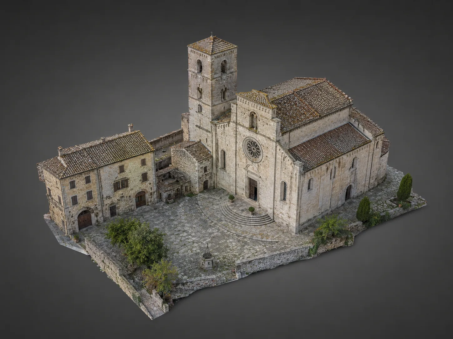
3D model
To read volumes, geometries and current conditions intuitively.
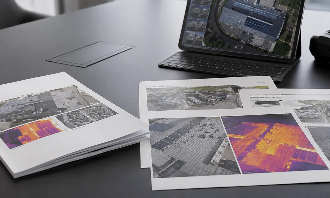
Technical sheet or attachment
Useful material to include in reports, files or presentations.
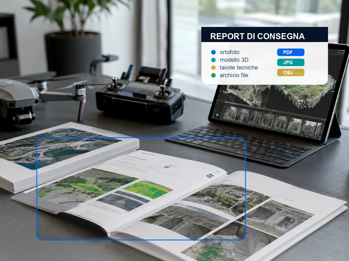
Delivery report
Clear summary of area, method, images and delivered files.
FAQ
Frequently asked questions.
Practical answers to understand what is needed before planning the work.
What is the difference between drone photos and photogrammetry?
Photogrammetry uses images captured with method, overlap and planning to generate orthophotos, 3D models or point clouds. It is not just a panoramic aerial photo.
Are the outputs always metric?
Accuracy depends on planning, altitude, sensor, control points, conditions and objective. During the brief we define the level of accuracy required.
Who is it for?
It is useful for technical studios, contractors, construction sites, farms, landowners, public bodies and organizations that need to document current conditions from above.
Do you want to check feasibility and cost?
Send us location, objective, approximate area size and, if possible, a few photos or a Maps link. We will suggest the most sensible solution.